quick facts
PANOLA COUNTY
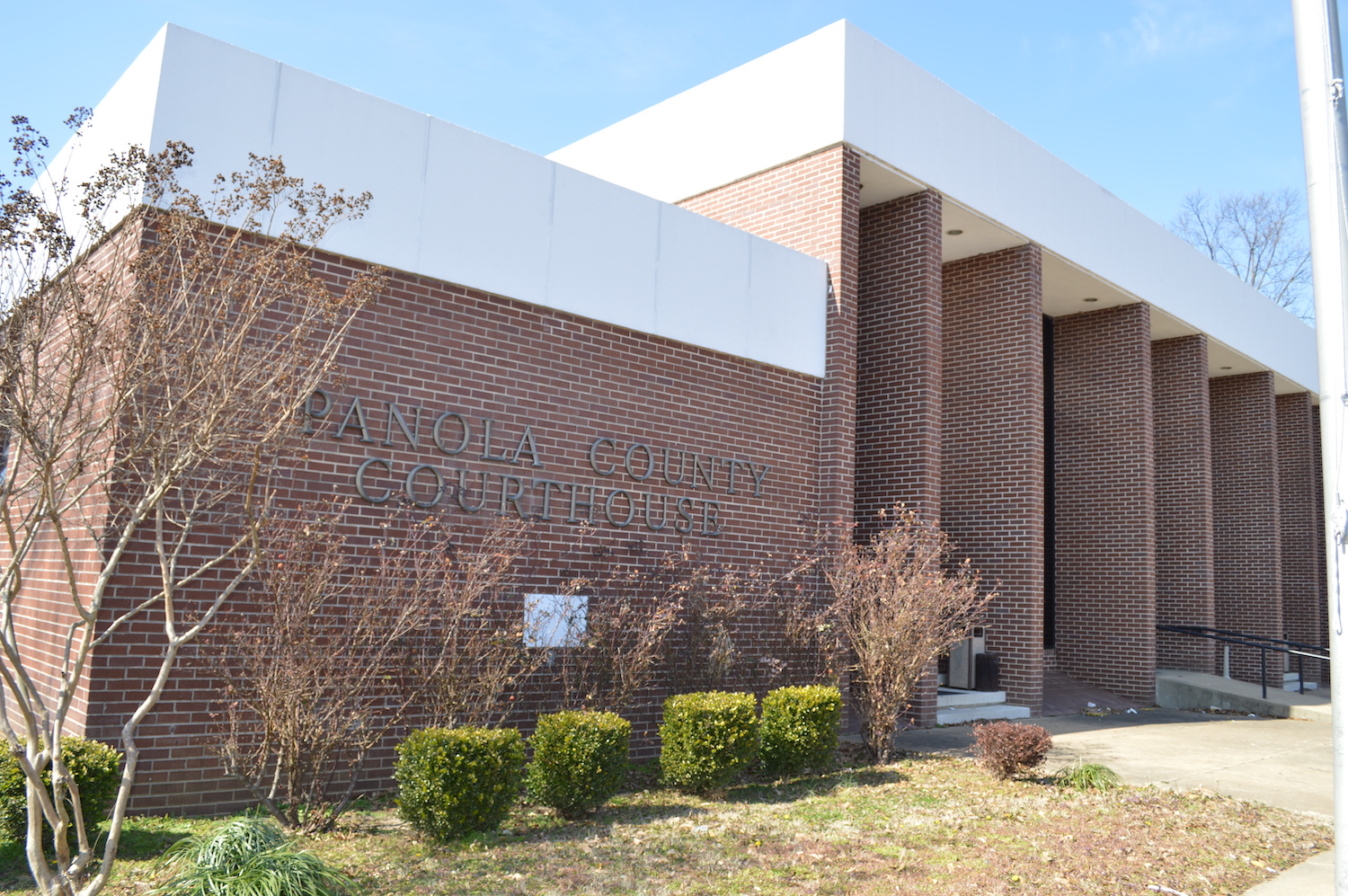
Panola County, Mississippi is located in northern portion of the State of Mississippi. Boarding counties include Tate County to the north, Tallahatchie and Yalobusha Counties to the south, Lafayette County to the east, and Quitman County to the west. The 2010 U.S. Census reported the population of Panola County to be 34,707 people. In 2000, the population was 34,274 people. Panola County has six municipalities: Batesville, Como, Courtland, Crenshaw, Pope, and Sardis. Panola County has two county seats. The City of Batesville serves as one of the county seats in the county. The second county seat is located in Sardis.
The county is connected to multiple highways and interstates. The major four-lane and interstate highways are Interstate 55 that provides a direct connection to Memphis, Tennessee located 57 miles to the north. U.S. Highway 51 and Mississippi State Highway 6 and 35 provide additional transportation service. The highway system links the county to the rest of the nation. The road system provides economic advantage and offers greater access to employment opportunities.
The county offers businesses, families, and individuals the opportunity to experience the best of small town life at an economical price. A diverse group of people living in the county are provided with access to several recreational opportunities that include fishing and hunting at Enid and Sardis Lakes. From a business perspective, the county has excellent proximity to major markets, access to an abundant labor force. Utility and transportation infrastructure, available sites, and reliable energy sources are among the many assets found in the area.

Total Population
33,300
Panola County

Unemployment Rate
4.3%
Panola County

High School Graduate or Higher
80.16%
Panola County

Civilian Labor Force
12,649
Panola County
DEMOGRAPHIC & ECONOMIC PROFILE
HISTORICAL SUMMARY
In the early 1800s the Mississippian Indians laid claim to the land. A little more than 200 years later the tribe disappeared, opening the doorway for the Chickasaw Indians. Their land stretched all the way to present day Pontotoc and was used primarily for hunting purposes. In an effort to obtain this land the United States government summoned the Chickasaws for negotiations in 1816. By October 1832 negotiations were concluded and the Treaty of Pontotoc was signed. From 1832 to 1836 the government surveyed the land, which consisted of 6,442,000 acres, and divided it into sections. A majority (2,422,400 acres) was assigned to the Chickasaws and the government sold the rest (400,000 acres) at a public sale. In 1836, the Mississippi Legislature created 10 new counties, including Panola County.
The county was traditionally known for its strong agricultural roots. In fact its name (Panola) was derived from the Indian word for cotton. During the late 1800s to early 1900s cotton was the dominant crop until farmers began realizing the importance of diversified farming plans.
Over the next 30 years the county experienced a large growth in population. From 1970 to 2000 the population grew by 7,445 people bringing the total population to 34,274 people. Today, the population has grown by 433 people since 2000. Also, during the 30 year time period the economy shifted from a traditional agriculture based economy to a manufacturing based economy.

DEMOGRAPHIC & ECONOMIC PROFILE
POPULATION TRENDS
The 2010 U.S. Census estimated the population of Panola County to be 34,707 people. The population grew by 433 people from 2000 to 2010. The population of the county grew by nearly 43 people per year.
AGE DISTRIBUTION
Panola County’s largest age interval ranges from 15 to 19 years old. This age range represents approximately 2,733 people or 7.9% of the population. The median age of residents living in the county was 36.5 years old based on the 2010 U.S. Census.

EDUCATION
Panola County has two public school districts-North Panola and South Panola. The Mississippi Assessment and Accountability Reporting System reported North Panola School District with a total enrollment of 1,681 and South Panola School District with a total enrollment of 4,654 students in 2011. The county does not have any post-secondary education facilities; the University of Mississippi is located 20 miles to the east in Oxford.
POVERTY
The U.S. Census estimated 30% of the people in Panola County lived in poverty. 45% of related children 18 and under were below the poverty level. Also, 18% of the population 65 years old and over lived in poverty. Panola County is composed of 8,744 families out those families 24% lived in poverty. Additionally, 45% of families with female householder lived in poverty according to the 2010 U.S. Census.
% People Living in Poverty
% Families Living in Poverty
INCOME
PER CAPITA PERSONAL INCOME
The 2010 per capita personal income for Panola County was $26,925. The PCPI amount for the county ranked 49th in the state and was 87% of the state average, $31,071. The Bureau of Economic Analysis noted Panola County’s PCPI average as 67% of the national average, $39,937.
INCOME
The median household income for Panola County was $34,030 based on the 2010 U.S. Census. Over 14% of households in the county received less than $10,000 in income in benefits in 2010. Only 0.5% of households received $200,000 or more in income and benefits. The chart shows the total household income percentages for households in Panola County.
